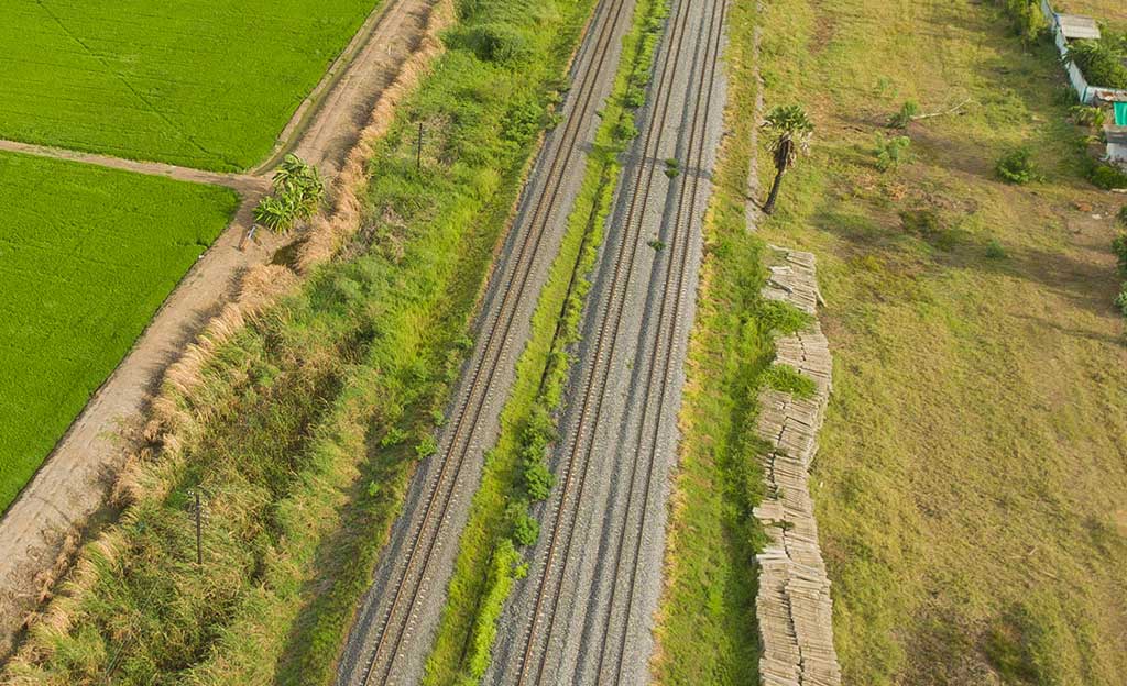
Drones are a consolidated tool in surveying and mapping equipment and jobs that seamlessly integrate into the workflows of surveying professionals.
Surveyors document their reports with Orthophotographs, Digital Terrain Models, Contour Lines, 3D Terrain Models, captured with drones equipped with high-resolution cameras.
The Advantages of drone surveying are manifold. The use of drones gives access to new functionalities, shorter response times thanks to the immediacy in the acquisition of data and a significant reduction in costs.