Topography with Drones
Topographic Engineering
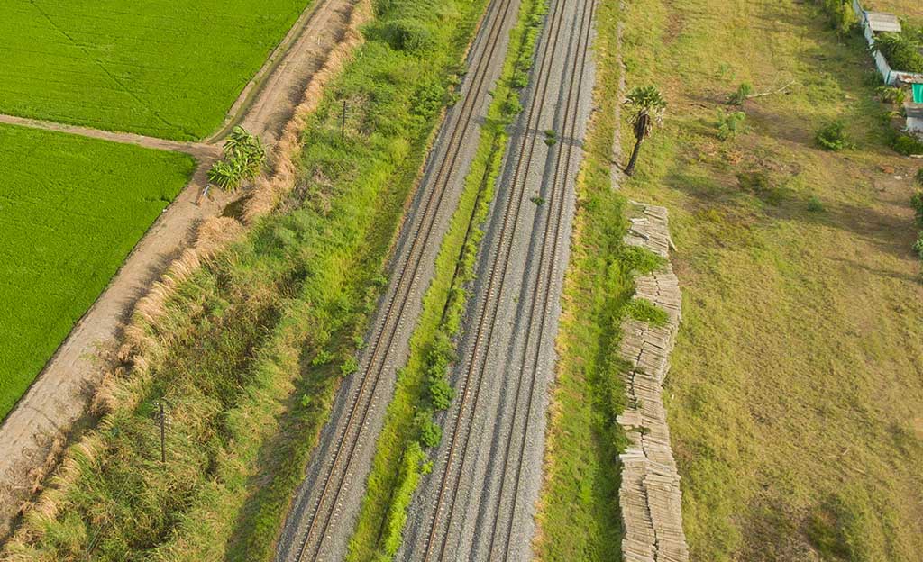
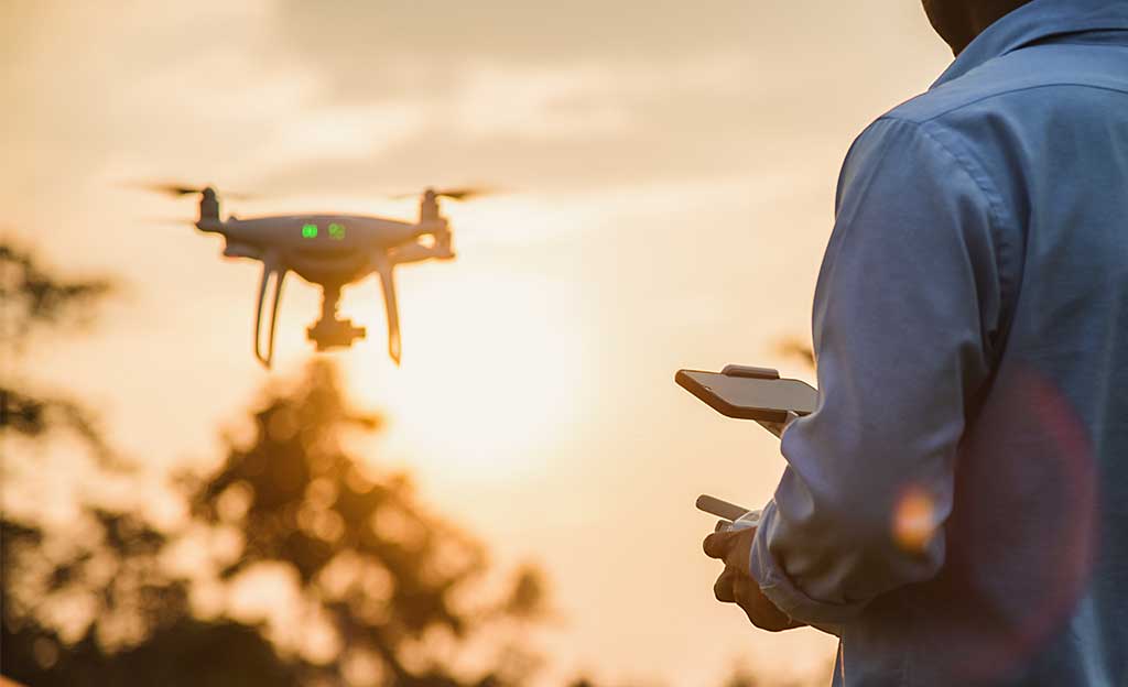
Drones are a consolidated tool in surveying and mapping equipment and jobs that seamlessly integrate into the workflows of surveying professionals.
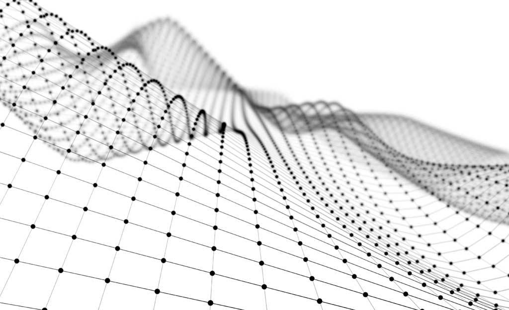
Surveyors document their reports with Orthophotographs, Digital Terrain Models, Contour Lines, 3D Terrain Models, captured with drones equipped with high-resolution cameras.
The Advantages of drone surveying are manifold. The use of drones gives access to new functionalities, shorter response times thanks to the immediacy in the acquisition of data and a significant reduction in costs.
Services



By pressing the "Accept" button you give your consent to our cookie policy. See cookie policy
Cookies
Necessary cookies are absolutely essential for the website to function properly. This category only includes cookies that ensures basic functionalities and security features of the website. These cookies do not store any personal information.
They are those that allow collecting statistical information on user activity: monitoring and analytics of the behavior of users of the websites to which they are linked. The information collected through this type of cookies is used to measure the activity of the websites, application or platform and to create navigation profiles of the users of said sites, applications and platforms, in order to introduce improvements in Analytical function of the data of use made by users and allow optimization of web browsing in order to guarantee a better service to the user.
They are those that allow the user to navigate through a web page, platform or application and the use of the different options or services that exist in it.
